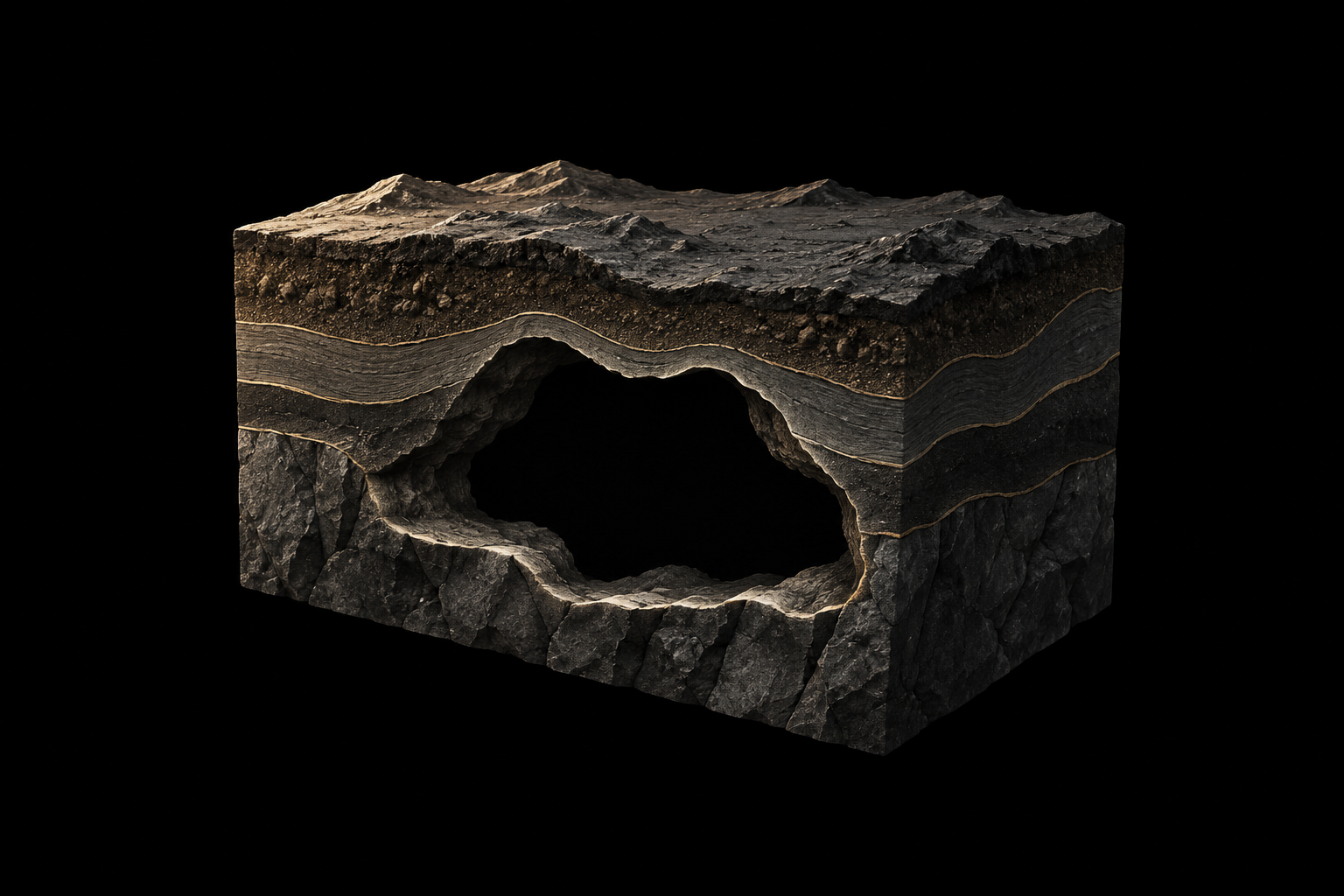
Underground voids
Possible traces associated with cavities or underground spaces—not confirmation of a void.
Remote sensing for subsurface exploration.
01 / What it finds
Possible satellite-derived indicators. Not direct detection or confirmation.
Possible traces associated with cavities or underground spaces—not confirmation of a void.
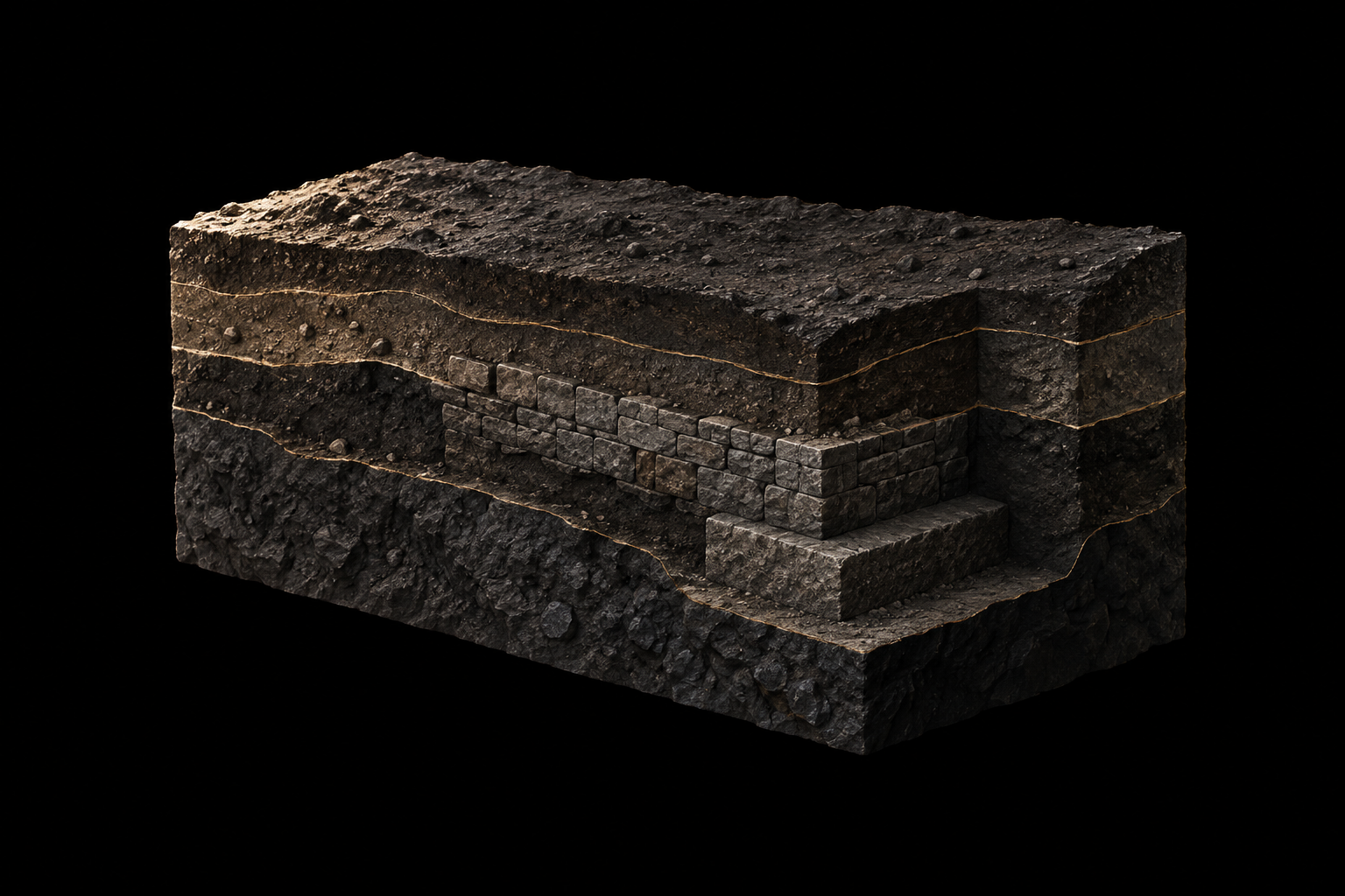
Satellite-derived indicators that may be associated with buried structures and warrant further investigation.
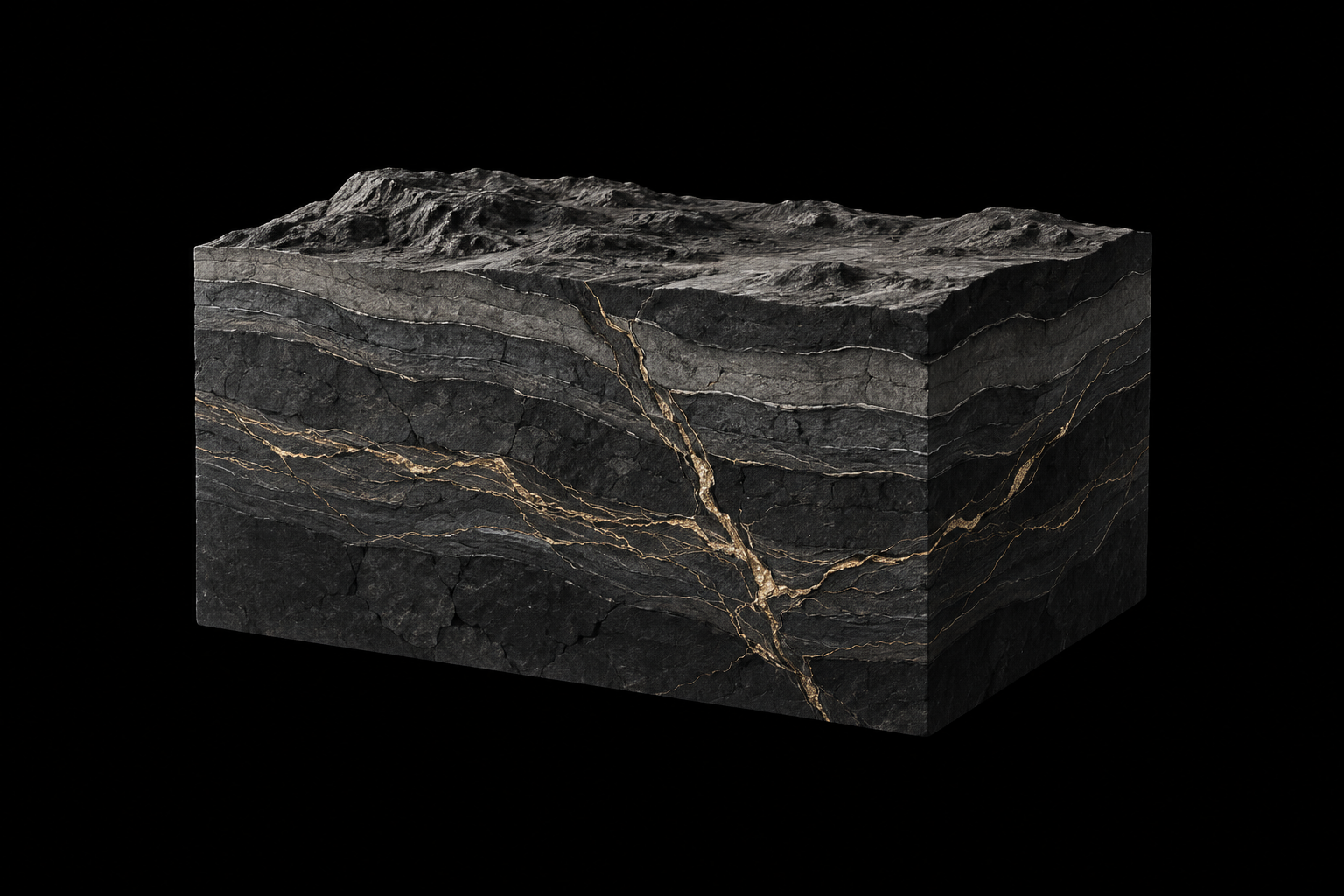
Patterns believed to be associated with mineralized areas—not direct metal detection or mineral identification.
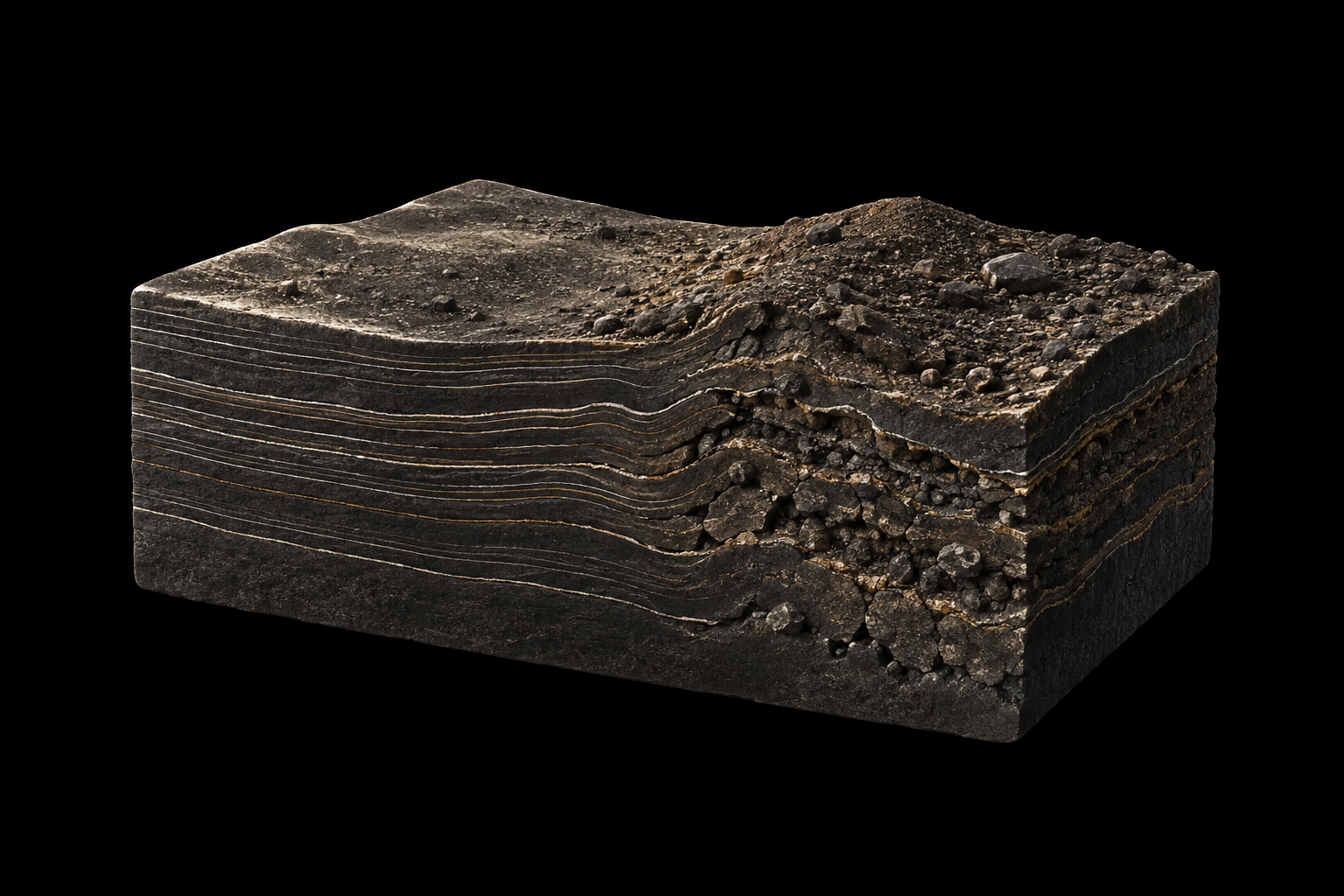
Cut-and-fill areas, settlement, and variations between compacted and loosened soil.
Drag to explore · + / − to zoom · Ctrl + scrollMove map to pan · Scroll page to leave
Loading NASA satellite imagery…
NASA GIBS · Blue Marble2004 satellite composite · regional detail
Field evidence / 01
A zig-zag underground tunnel, 3 m deep, with an east–west / west–east route repeated three times.
Location, depth and route provided by the owner. Terrain analogue—not the discovery site.
Continue to evidence 02Field evidence / 02
A tomb and graves reported at a depth of 7 m.
Findings and depth provided by the owner. Map imagery is illustrative—not the burial site.
Previous record Continue to evidence 03Field evidence / 03
Owner-reported mineralized ground, documented with a SHAMAL scan, a sample photograph and a field video.
Finding reported by the owner. Terrain analogue—not the discovery site.
Previous record Continue to evidence 04Field evidence / 04
A second owner-reported mineralized-ground record, bringing together a SHAMAL scan and a field video.
Finding reported by the owner. Terrain analogue—not the discovery site.
Previous record About SHAMAL06 / About SHAMAL
SHAMAL is a remote-sensing application for ground intelligence and subsurface exploration that analyses satellite data and imagery to identify traces believed to be associated with underground voids, buried structures, mineralized areas, and disturbances in the soil or ground.
Rather than detecting voids or metals directly, it interprets possible indicators of subsurface features and changes in ground conditions.
Its intended applications include investigating cut-and-fill areas, ground settlement, and variations in soil compaction, including compacted and loosened soil.
The SHAMAL team documents its findings and gathers supporting evidence to explain the patterns identified, helping users assess areas of interest and guide further investigation.